Real places. A world you can explore.

I designed and directed a system that turns open map data into a browser world, with AI agents working within the visual rules and checks I set.

Opens in a new tab. Nothing to install.

Best explored on a computer. Watch the video here, or send yourself the link.

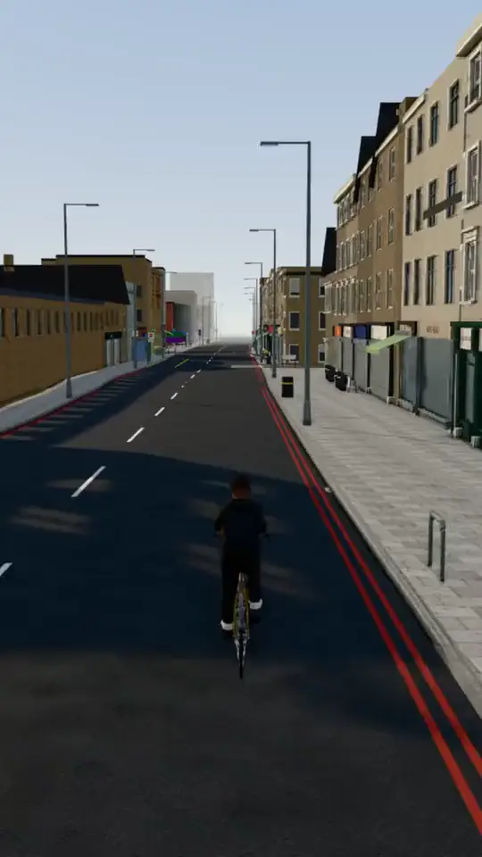
Cycling down the high street.

01 Get around

Take the bus. Catch the train.

A transport system you can actually use.

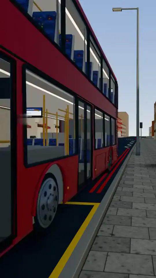
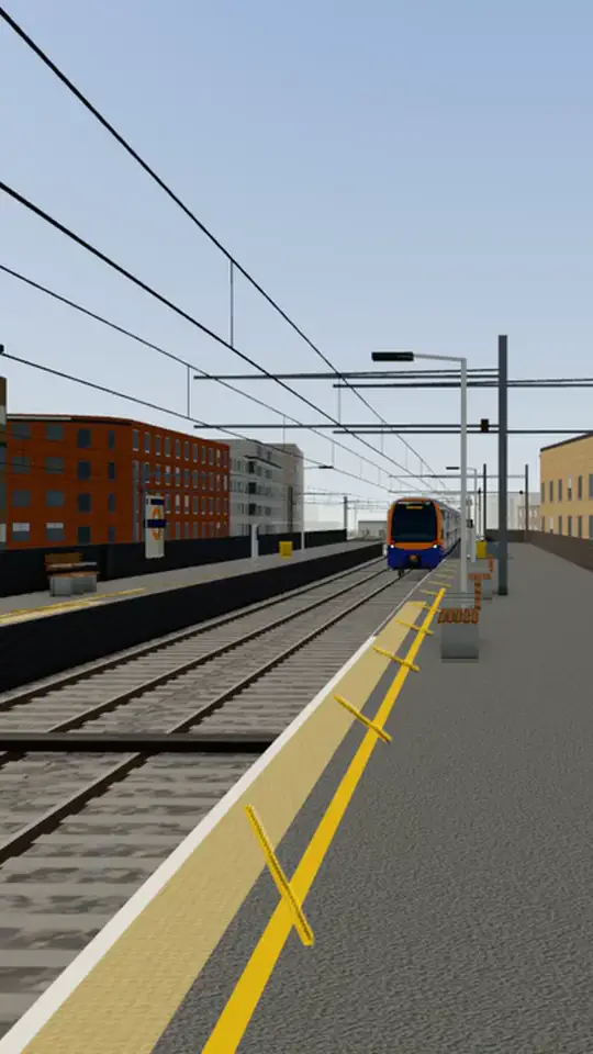
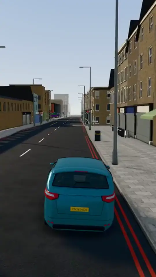
Wait at the stop and the bus waits for you. Climb the stairs and take the front seat upstairs. Change for the train, walk the carriage while it moves, and step off at the next station. Or walk, cycle or drive. Buses and traffic follow the real roads, the sun and moon keep the local clock, and the weather is whatever it's doing there today.

  1. Bus

    The bus pulls in and waits while you board.

  2. Train

    The next train comes in under the wires.

  3. Cycle

    Take a bike down the high street.

  4. Drive

    Or take the car.

Three train lines, 13 stations.

  • Mildmay line
  • Windrush line
  • Weaver line
  • Main roads: buses and traffic

Drawn from the world's own track and station data, with the main roads where buses and traffic run.

© OpenStreetMap contributors (ODbL)

  • Any weather.

    Dry, rain, snow and fog, switched through for this clip. In the world it's today's weather.

  • Any hour.

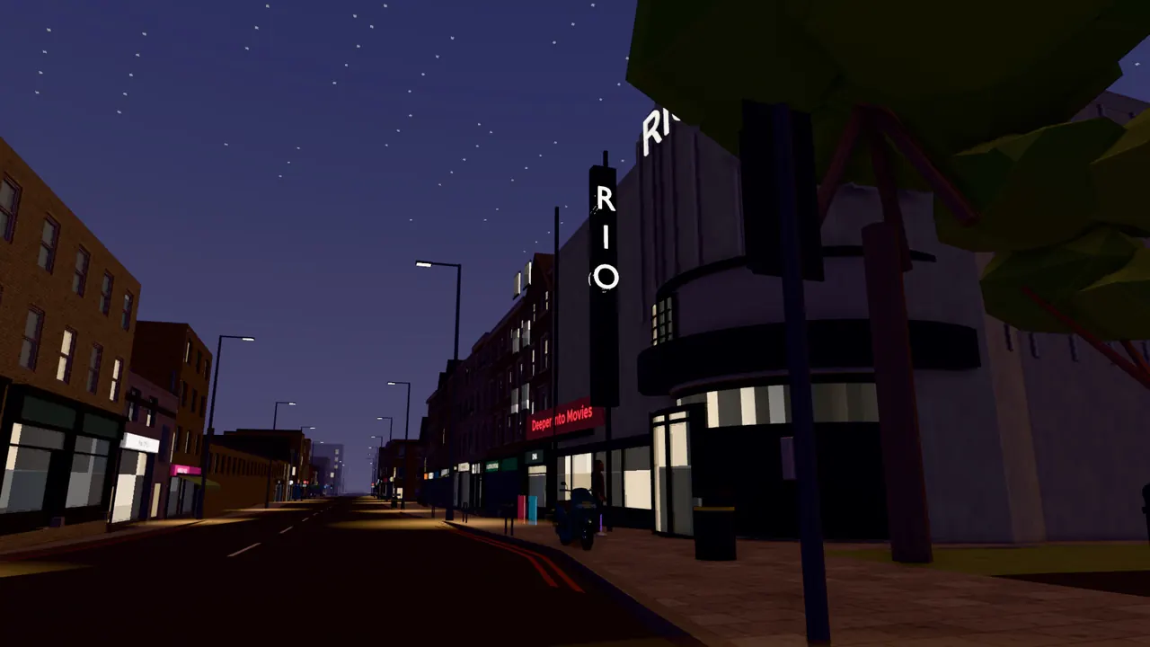
    Dusk to night on the high street, time compressed.

02 From map to world

A shared visual language for every street.

I designed the building kit and landmark approach; AI agents research and model within those rules, behind checks I set.

Open map and terrain data provide the streets, building outlines and landscape. I set the visual grammar: ordinary buildings assembled from a kit of researched parts, with the landmarks a local would name modelled individually. The aim is recognisable, not a replica. AI agents research streets, model landmarks and carry out much of the build within that system. I choose the places, set the quality bar and automated checks, review the results and decide what ships.

Drawn in your browser from the map data: The whole borough, shown as building outlines from OpenStreetMap.Drawn in your browser from the map data: Each one raised to its height: from the map's own tags, or estimated from the building's type where the map has none.Captured in the world: the neighbourhood at dusk from above, its street lamps lit along the high street.

Drawn in your browser from the map dataCaptured in the world

The whole borough, shown as building outlines from OpenStreetMap.

Building outlines © OpenStreetMap contributors. The extract drawn here is available under the Open Database Licence (ODbL 1.0). Borough boundary contains OS data © Crown copyright and database right 2024.

The same system, different places.

A whole London borough and neighbourhoods in a Brazilian city.

Hackney, London

A street at night in the world rising to the whole neighbourhood at dusk.Captured in the world

From street level to the whole borough, at dusk.

A whole borough generated from open data, with its public streets walkable end to end.

Covers
The whole borough
Area
19 km²
Buildings
19,306
Walkable in
Six days to a walkable borough

Salvador, Brazil

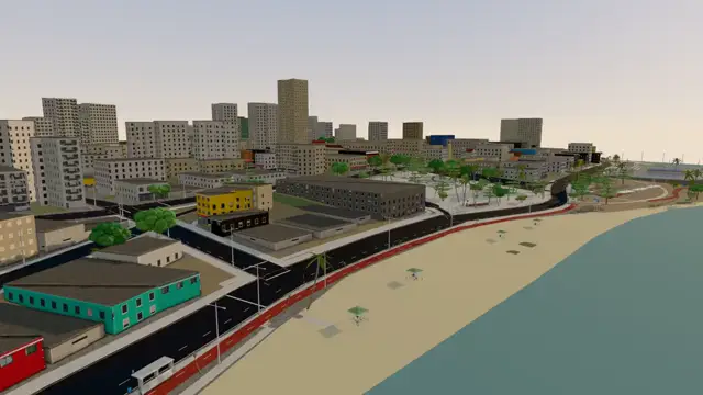
A seafront in Salvador from above: a beach, a promenade and high-rise blocks.Test build, ships before launch

Salvador's seafront, built by the same system.

Three neighbourhoods generated, with Pituba taken to street-level detail.

Covers
Pituba, the detailed neighbourhood
Area
4.6 km²
Buildings
2,738
Walkable in
Just over a day to generate all three neighbourhoods

Built with

The data

OpenStreetMap
Streets, building outlines and rail lines
Environment Agency
The lie of the land
TfL Open Data
Bus routes and stops
Open-Meteo
Today's weather

The engine

three.js
Draws the world in your browser
Recast Navigation
Makes every street walkable
meshoptimizer & glTF Transform
Keeps the world light enough to stream

The tools

Blender
Landmark models
Vite
Builds the world for the web

03 Where it's going Concept

Explore here. Then go there.

A proposed way to discover real places through the world.

The idea is missions set by local businesses: find a bakery, discover a record shop's listening night, or seek out a café. Exploring the world could become a way to discover independent shops and plan a visit.

This is a concept. Missions aren't in the world yet.

Moving slowly down a high street in the world as dusk turns to night: lamps lit, upstairs windows lit, the road empty.
Here: in the worldFind the street and the door, from anywhere.

Concept · example mission

Bakery

Be there when the bakery opens

First loaves out at six. The door at the end of the parade.

There: on the streetThen walk in for real.Drawn for this page: an example, not a real shop.

Example missions, not real offers.

Hackney from above at dusk in the world, the camera rising: the high street runs away between lit terraces, its lamps glowing, into the haze.

Want to build a 3D experience for your project?

This one started with a map. Yours could start with a product, a building, a story or a place.

Tell me what you're working on, and we'll work out what it could become.